HIGHLIGHTS
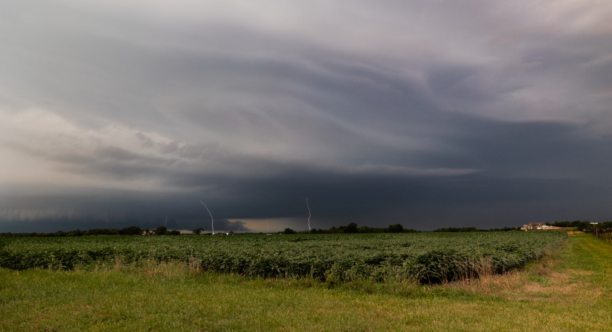
- lightning
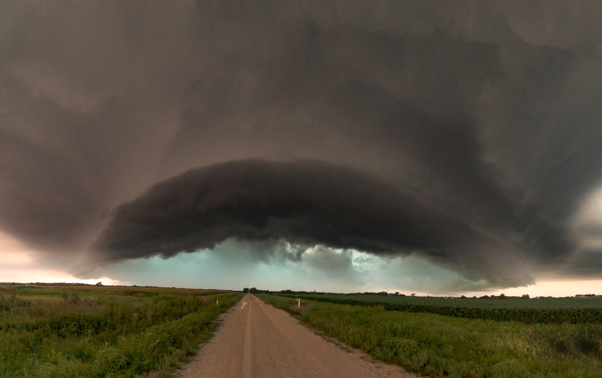
- shelf cloud
- wall cloud
Enjoy this content?
Click to make it sunny!
Introduction
A fun mid-August chase on my way to Omaha for work. Limited on time and distance I could travel, I was fortunate to meet up with a cell and grab some phenomenal photos.
Setup
Forecast (written before I left)
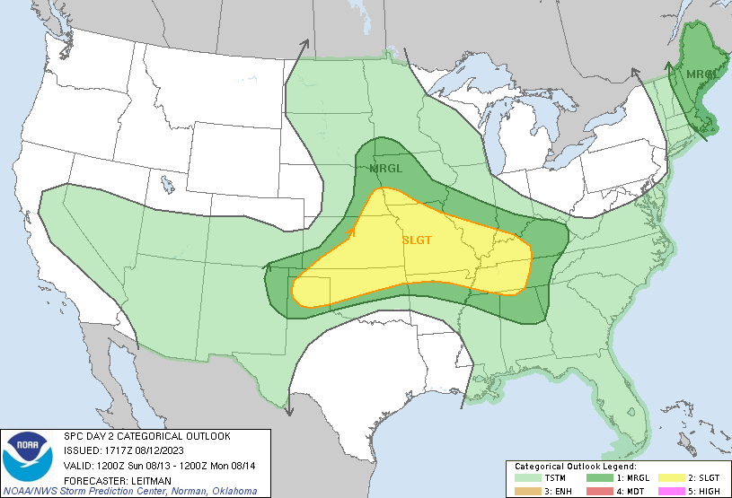
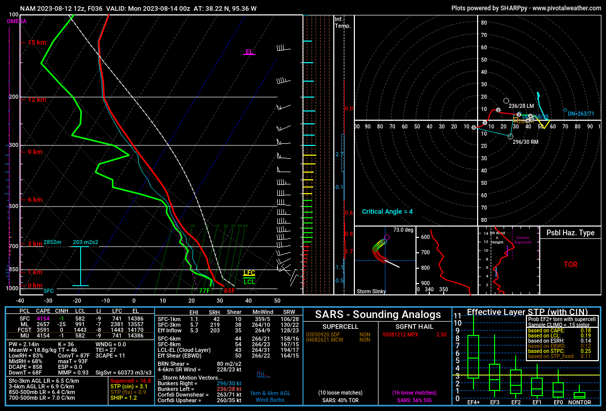
We’re looking at two conditional setups for the afternoon: North (NE/IA) and South (KS/MO).
Storms have been rolling through the Midwest overnight with a low pressure system. A second shortwave trough will move across the area Sunday, giving us the lift we need for storm development. Depending on cloud clearing and how much instability we can gain, will determine how the afternoon will look.
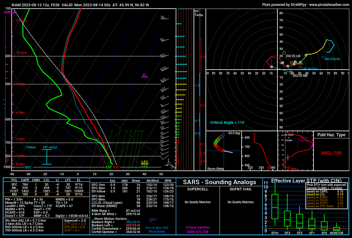
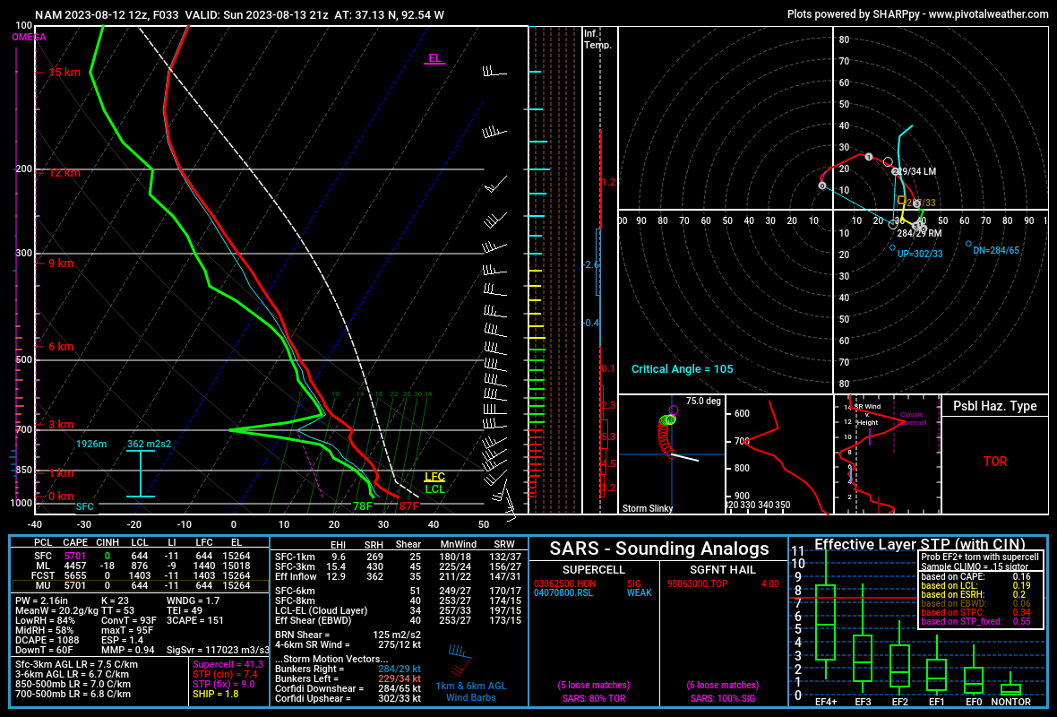
LCL and LFC look good for surface storms/mid-level convection in both setups.
Directional shear at the surface is favorable in both locations, but missing is any substantial difference in wind speeds with elevation. This will likely be a limiting factor.
The Kansas/Missouri area clearly has the greater severe weather potential. Some NAM soundings were showing a lot (~6000) of free CAPE.
ESRH looks ok up north, but looks better for the southern setups. Lapse rates better look better down south too.
Shear is better down south, especially if you look at both 0-1km and 0-3km.
Summary
In NW Iowa, the potential just doesn’t look as good…so, south will be my target. The more I look – the more I am liking an Eastern KS focus.
We’ll see as the morning goes on where it takes me.
Chase Day
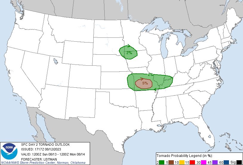
Woke up early Sunday morning to head south for the 5% TOR Risk across central Missouri.
As the night-before and day-of progressed, it looked like any initiation would be later in the day and further west of the outlook areas.
I didn’t have time to chase night storms across Missouri, so I headed towards eastern Kansas to try to pick up one or two of the first cells.
Unfortunately, it didn’t pan out as expected.
The front was a bit later than I forecasted - broad initiation didn’t end up occur until after dark.
Last Chance
Just before sunset, I found myself racing to the only cell that was building energy, up near Iola, KS.
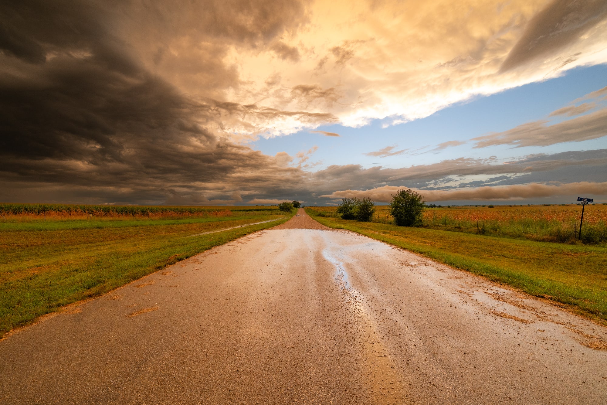
Pulled over on a gravel road and set up for some lightning timelapse and shots of the shelf as it was approaching.
I wasn’t the only one thinking this…there were dozens of chasers racing to this cell on a single highway.
I eventually found a spot to set up and started some timelapse series.
Summary
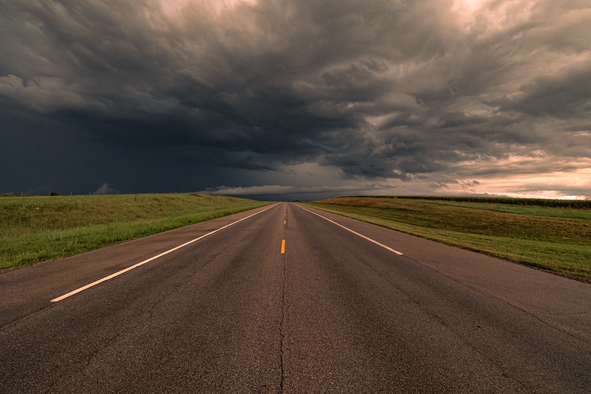
While things didn’t pan as expected…it definitely wasn’t a bust: the sky in the storm was electric. So many great photos (below).
