Details
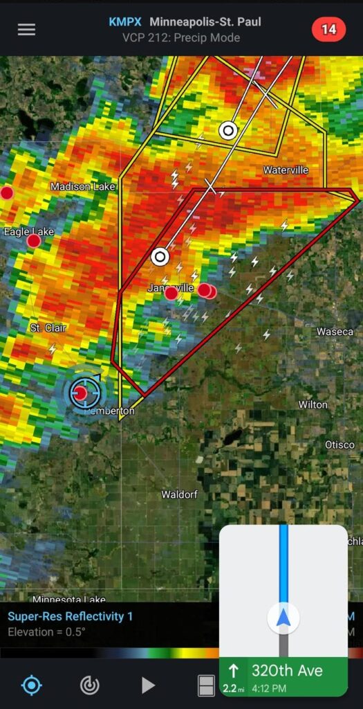
| Location | Mapleton, Pemberton, Waseca (Minnesota) |
| Start | June 24, 2023 2:39PM |
| End | June 24, 2023 6:45PM |
| Features | Wall cloud, funnel, inflow |
Overview
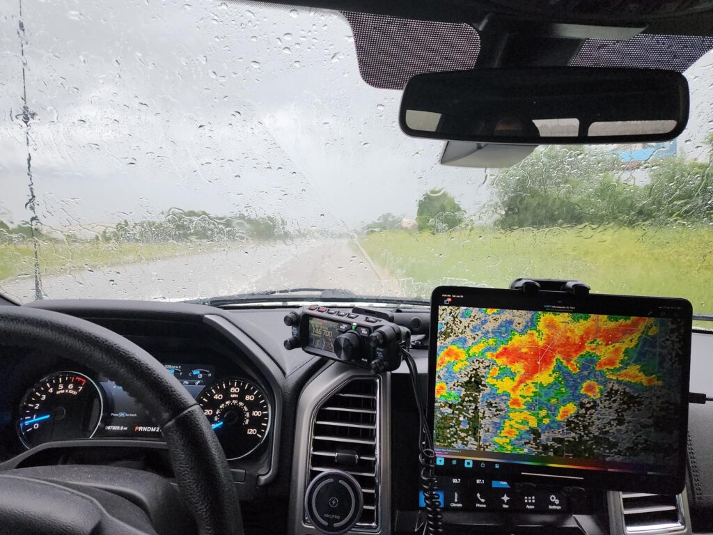
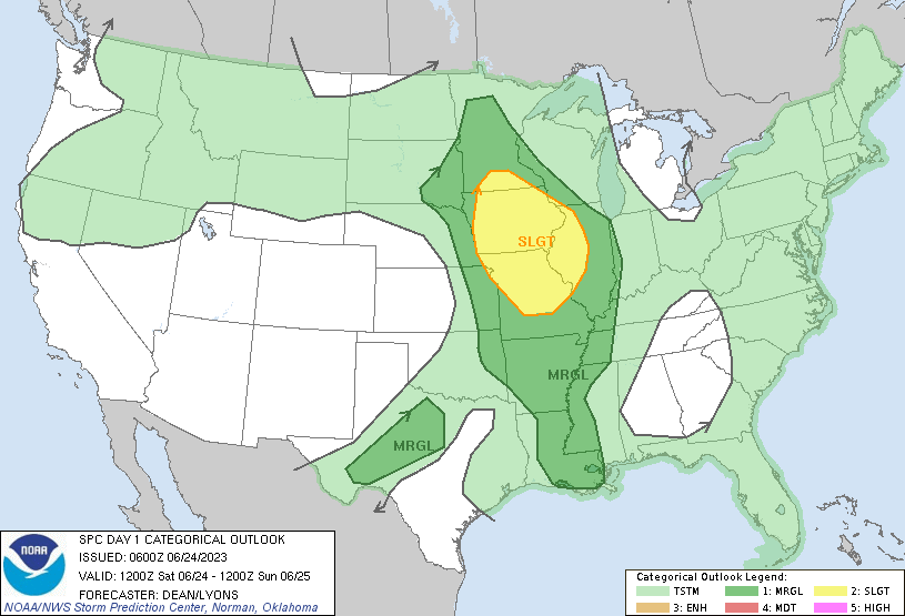
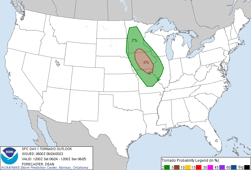
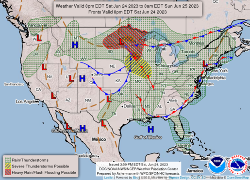
After dropping my kids off with relatives near Mankato, I headed east to position myself in a few areas that were showing some potential for activity. SPC’s Slight categorical just barely nicked the lower portion of the state as well as a 5% tornado outlook, and I knew I was already getting a late start to a chase. I wasn’t able to log forecast details for this trip, but will for future events. I recall there were significant features of the soundings I pulled that day showing relatively uncapped, strong CAPE and moderate shear & SRH for the area that led me to setup in the Waseca area. As I parked to strategize, a cell was rapidly forming just ahead of me which ended up producing a funnel. I raced to get ahead of it, but it ultimately lost strength fizzled out.
Forecast
Route
Photos
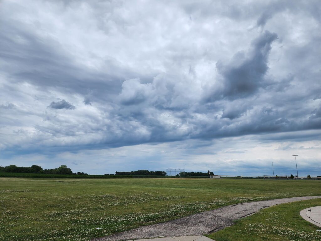
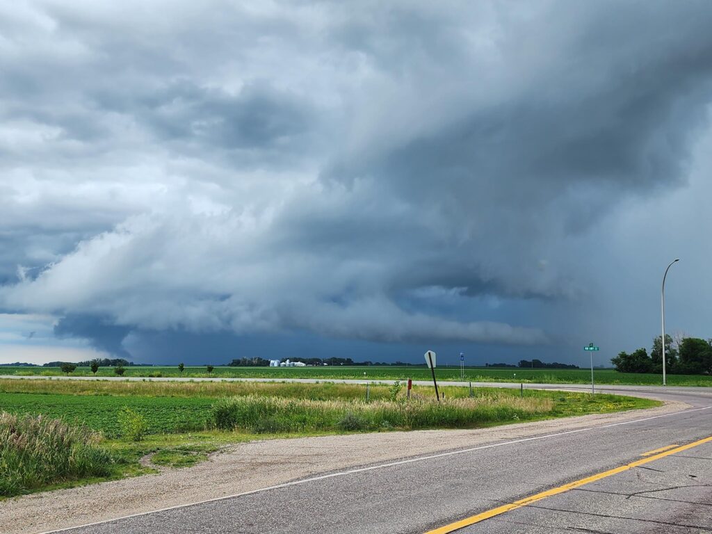
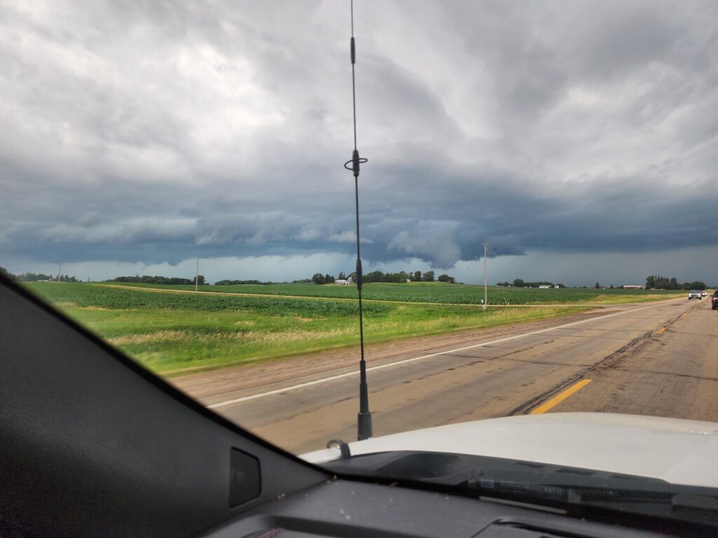
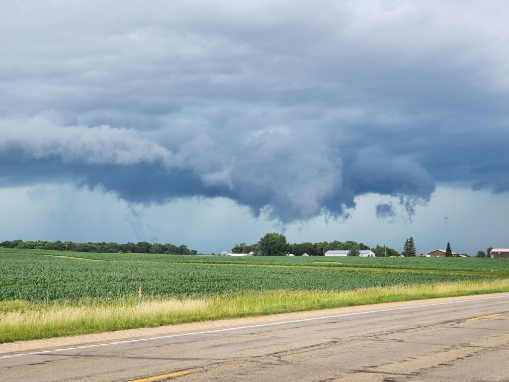
The funnel cloud had definitely dissipated by this point
